Motivations
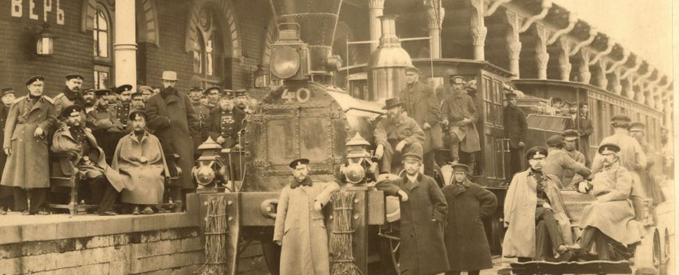
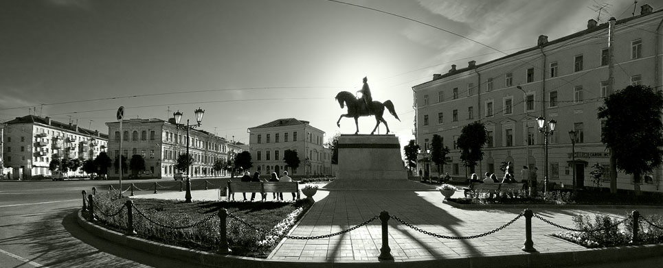
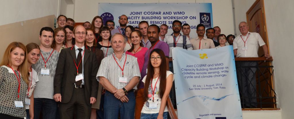
There is a framework agreement between Committee on Space Research (COSPAR) and the World Meteorological Organization (WMO) to organize capacity building events of mutual interest. The present Joint COSPAR and WMO Capacity Building Workshop (CBW) aims at holding a cooperative training course on satellite remote sensing and climate change in Tver State University (TSU, Tver, Russia) by combining two training events for students and young scientists jointly organized by COSPAR and WMO. This event will take place two weeks before the 40th COSPAR Scientific Assembly to be held in Moscow from 2 to 10 August 2014. Tver city is located at a distance of one hour by fast train from Moscow.
The combined training course will be focused on water resources and water cycle on the globe because of two reasons:
- we observe a serious decline in water resources on the globe due to global warming and climate change;
- the changes in water resources and climate are observed by different satellite remote sensing methods.
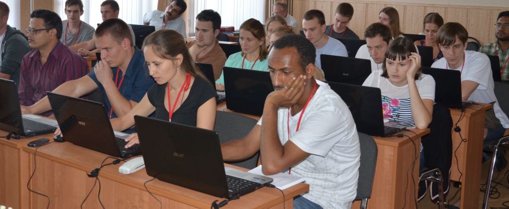
This CBW will introduce young scientists and students to satellite remote sensing of the land, ocean, inland seas, lakes, water reservoirs and rivers. CBW will provide them with the training in the use of satellite data bases, software, and data processing. Of course CBW participants will be given the opportunity to attend the COSPAR Assembly in Moscow. Note that this conjunction of a CBW and a COSPAR Scientific Assembly has already been experimented successfully in November 2013 with the COSPAR Symposium in Bangkok, preceded by a CBW on atmospheric corrections of remote sensing imagery.
Objectives
The objective of the present CBW is to provide the participants with basic knowledge on satellite remote sensing, satellites, satellite instruments, data bases and formats, data access, processing software, methods of processing and analysis of satellite data. From the wide spectrum of satellite remote sensing applications we will focus on water resources and water cycle on the globe. This will include examination of the ocean/sea/lake/river levels, ice and snow cover, vegetation, soil moisture, atmospheric state, and ecosystems in different parts of the world. The CBW will show how satellite remote sensing data may be used for investigation of global and regional climate change and its consequences.
Topics
Satellite oceanography; satellite altimetry; satellite monitoring systems and applications; multichannel and multiplatform approach for marine environment study and regional climate change; satellite data archives and tools for data analysis; software; European and USA satellite data bases; regional climate change; future satellite missions and international cooperation. A list of confirmed lectures and training courses is given in the attached file.